
2016 COLLINS EUROPE ROAD MAP
мека
мека
английски
2015
5.03.2016 г.
20434636
9780008146368
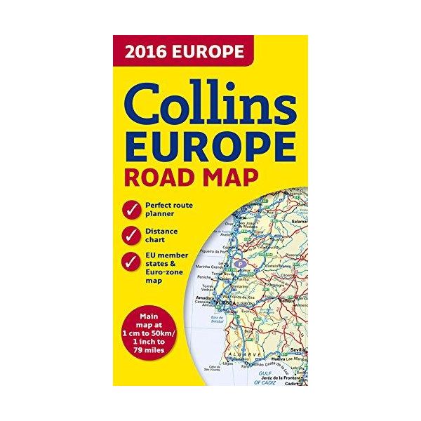
New edition of annually revised, politically coloured road map of Europe at a scale of 79 miles to 1 inch / 50km to 1cm (1: 5,000,000). Roads, motorways, European Route numbers, railways, airports, cities and towns are clearly shown, making the map ideal for route-finding and planning.
AREA OF COVERAGE:
Covers the whole of Europe from the North Cape (Norway) to Gibraltar and from Ireland to east of Moscow. Also includes Iceland and Cyprus.
MAIN FEATURES:
• Fully revised and updated for 2016.
• Full index to place names (on reverse of sheet).
• Distance chart giving distances in kilometres between main towns.
• European Union map showing member states and the Eurozone.
• Internet links to further information on Europe.
• Key to approved country code abbreviations – GB, F, D etc.
• Map legend in English, French, German, Spanish and Italian.
Категории
Вие оценявате:

Вашите заявки се обработват всеки работен ден от 9,30 до 18,00 ч.
Направени до 16,00 ч. поръчки за страната и чужбина се предават на куриерска служба в рамките на 3 работни дни или според графика за обслужване на съответното населено място.
За страната Книгомания работи само с куриерска служба „Спиди".
Доставките за София на наличните заглавия се изпълняват от куриер на Книгомания в рамките на два работни дни.
Доставката в рамките на страната е 1.99 €
При поръчки на стойност над 25.05 € доставката е безплатна.
Всички цени на Продуктите или Услугите са крайни, обявени са в евро (EUR) с включено ДДС и всички други изисквани данъци или такси, без цена за обработване и доставка, която е посочена отделно, в случай, че такава се дължи.
1 EUR е равно на 1.95583 лева.
Приемат се плащания с наложен платеж, чрез e-Pay и PayPal.


