Абонирайте се
за НАШИЯ СЕДМИЧЕН БЮЛЕТИН!
Ще получавате първи полезна информация за нови заглавия, събития, промоции, видеа, книги бестселъри на английски и български език!
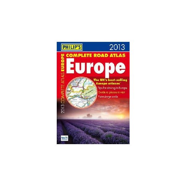
The maps also highlight towns with low-emission zones and show motorway rest/parking areas. In addition, Philip's Complete Road Atlas Europe 2013 features a unique fact-finder that provides key statistics, currency information and recent events for each country. Philip's Complete Road Atlas Europe 2013 includes: Up-to-date driving regulations, including speed limits, for every country in Europe;
Listings for ski resorts and top visitor attractions, country by country; 22 pages of route-planning maps which enable journeys of over 800 miles to be planned without turning a page; 175 pages of clear, detailed road maps, with scenic routes highlighted and toll, toll-free and pre-pay motorways all clearly marked; Large-scale approach maps for 31 major cities; 50 city-centre plans marking historic buildings and tourist attractions, as well as car parks, head post offices and other facilities.| Страници | 312 |
|---|---|
| Корица | мека |
| Език | английски |
| Година | 2012 |
| Дата на получаване | 21.11.2012 г. |
| Издателство | Philip`s |
| ID на книга | 23237225 |
| ISBN | 9781849072250 |
| Категории | Карти и атласи |
Knigomania.bg използва Бисквитки. Използвайки този уебсайт, вие приемате нашите Общи Условия и Политика за поверителност.