Абонирайте се
за НАШИЯ СЕДМИЧЕН БЮЛЕТИН!
Ще получавате първи полезна информация за нови заглавия, събития, промоции, видеа, книги бестселъри на английски и български език!
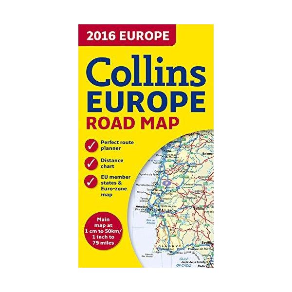
New edition of annually revised, politically coloured road map of Europe at a scale of 79 miles to 1 inch / 50km to 1cm (1: 5,000,000). Roads, motorways, European Route numbers, railways, airports, cities and towns are clearly shown, making the map ideal for route-finding and planning.
AREA OF COVERAGE:
Covers the whole of Europe from the North Cape (Norway) to Gibraltar and from Ireland to east of Moscow. Also includes Iceland and Cyprus.
MAIN FEATURES:
• Fully revised and updated for 2016.
• Full index to place names (on reverse of sheet).
• Distance chart giving distances in kilometres between main towns.
• European Union map showing member states and the Eurozone.
• Internet links to further information on Europe.
• Key to approved country code abbreviations – GB, F, D etc.
• Map legend in English, French, German, Spanish and Italian.
| Корица | мека |
|---|---|
| Език | английски |
| Година | 2015 |
| Дата на получаване | 5.03.2016 г. |
| Издателство | Collins |
| ID на книга | 20434636 |
| ISBN | 9780008146368 |
| Категории | Карти и атласи |
Knigomania.bg използва Бисквитки. Използвайки този уебсайт, вие приемате нашите Общи Условия и Политика за поверителност.